Hike Notes for Black Hill
   
Morro Bay State Park
Click here to return to Black Hill Hike
Driving Directions for the Long Hike
From Los Osos Valley Road, turn on South Bay Blvd for 3 miles.
Turn west on State Park Road and veer right up Park View Drive.
After .3 miles on Park View Drive, park in a dirt turnout on the left side of the road.
You still have to go 100 yds up the road. (Careful, narrow road.)
See the picture below for the narrow trailhead!
There's a better parking area just before the golf clubhouse.
From there hike back down the road.
Driving Directions for the Short Hike
Okay, you still can't find that trailhead or you want the 'Short Hike'?
Before the clubhouse, opposite that better dirt parking area, turn right.
Yes, it looks like a maze of golf cart paths, but take the 'Road Closed' one!
Watch out for golfers' slices and hooks as you drive up the hill.
The parking lot at the top is a beautiful viewpoint.
Long Hike Notes
The very bottom of the trail begins in a campground below Park View Drive.
Robert Stone's map and notes are great once you find the trailhead!
He did forget to mention the mosquitoes! Be prepared!
Short Hike Notes
If you start with the short hike and then go down,
it's tricky even with the guide book.
Up high there weren't any mosquitoes!
If you're only doing the short hike, bring some wine and bread!

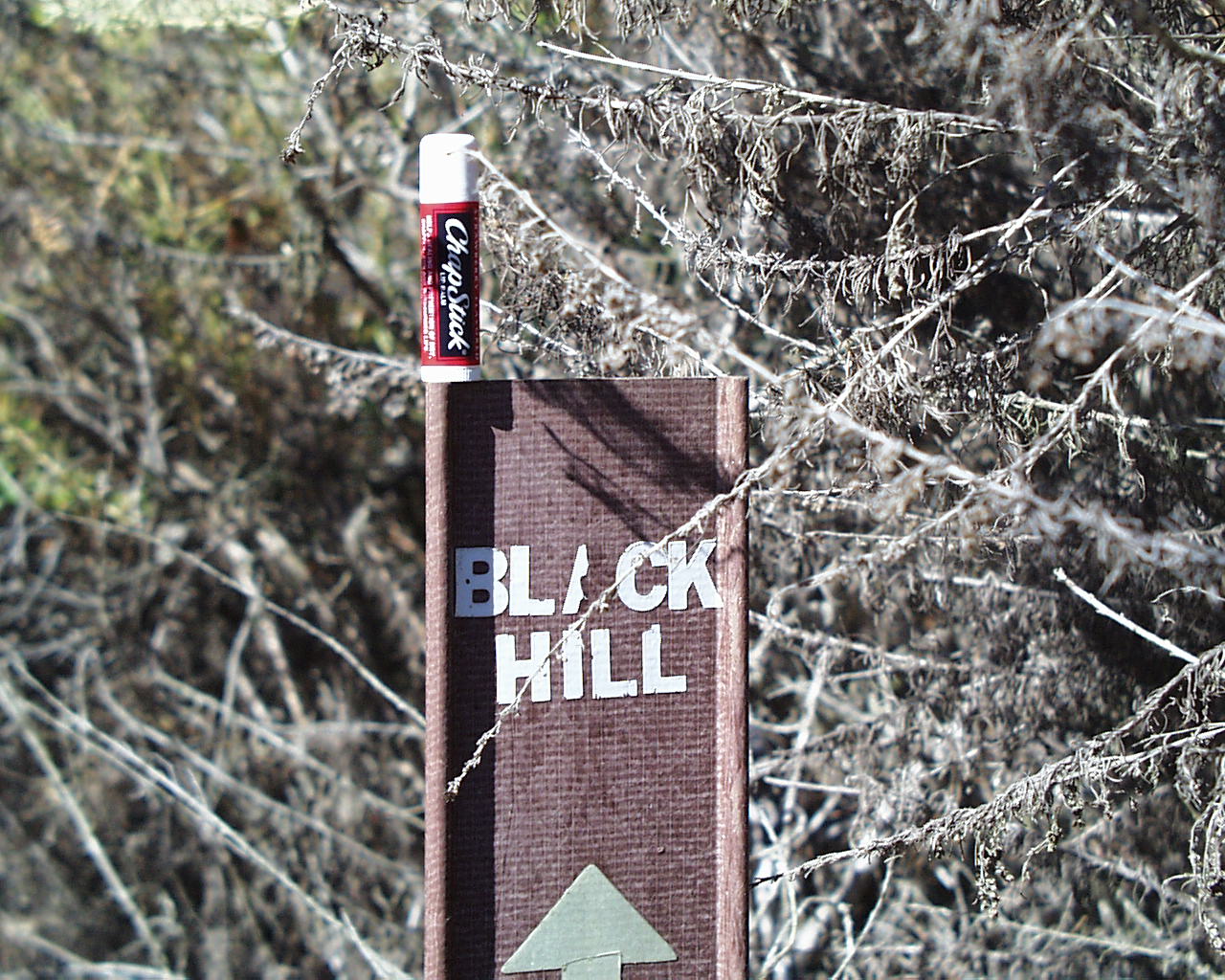
Tiny Trail Marker from the Campground

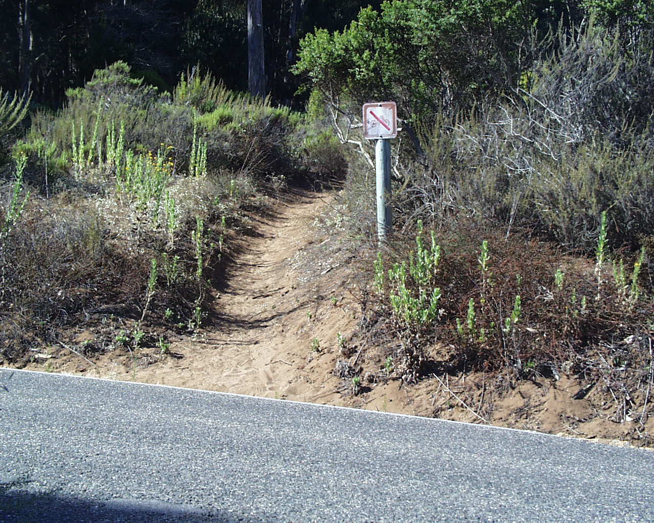
Narrow trailhead from Park View Drive

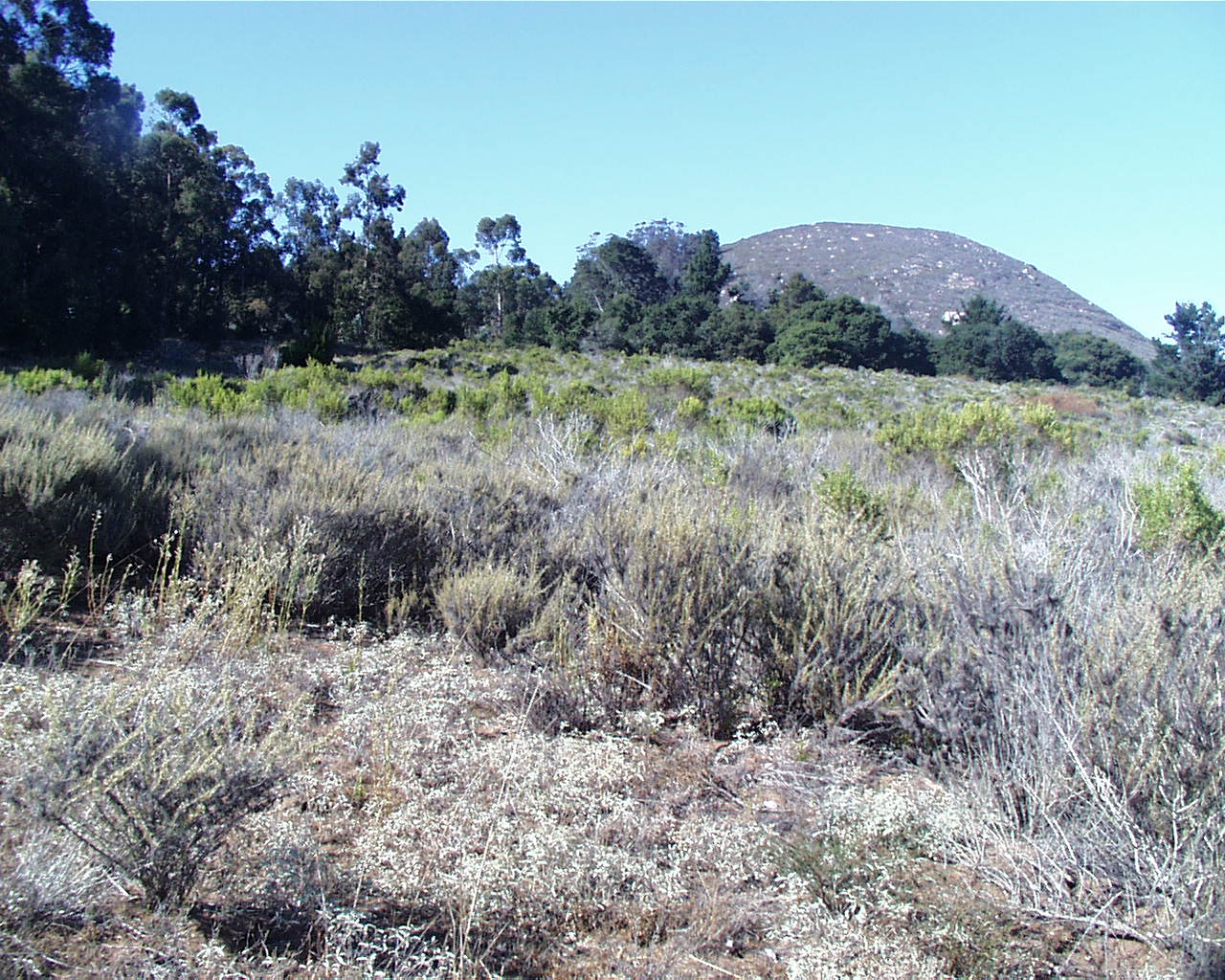
Meadow east of the golf course

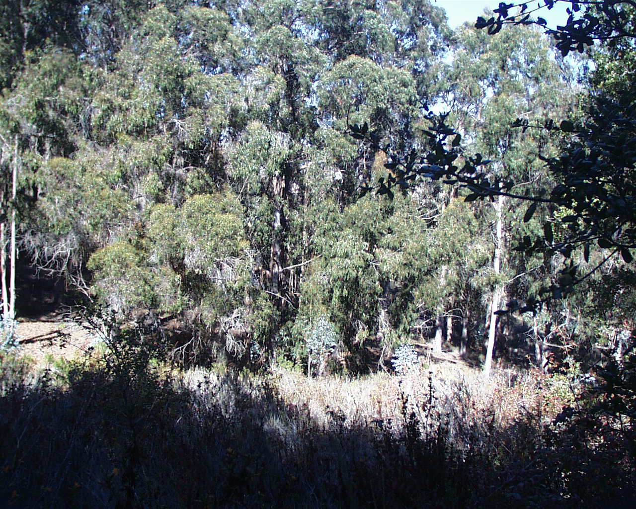
Down into a Ravine with Eucalyptus

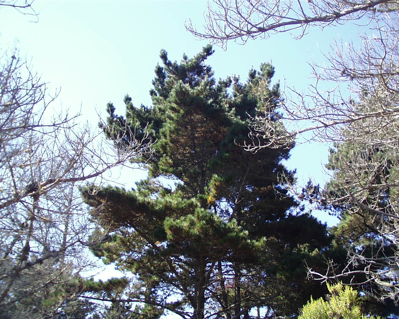
Finally up past the Monterey Pine

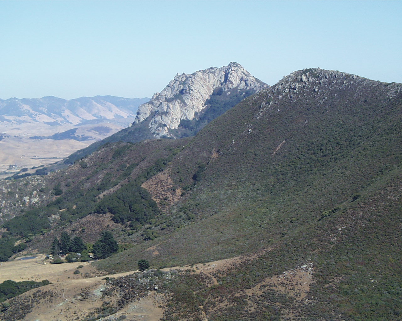
You've earned a great view of Hollister Peak!

Links and References
#17 Day Hikes in San Luis Obispo County, California - Robert Stone
Morro Bay Golf Course (Black Hill)
morro-bay.com
Chorro Hill Hike
Portola Point Hike


San Luis Obispo County
Return to Sally & Jim's Trips
Click below to return to
Black Hill Hike
August,2001