Hike Notes & Summit Hike

Click to return to the Loop Hike

Bridge
Start and/or Finish

Our goal

Cerro Alto Summit!

Trail down

Tarantula!

Red Bug?

Driving Directions
From Morro Bay take Hwy 41 ten minutes inland.
Look quickly for the campground entrance right after the s-curves.
Or miss the entrance and stop(200yds) at Whispering Meadows for breakfast!
From Atascadero look for the campground entrance after the 'Stagecoach'!
Drive to the end of the campground to pay for day use and the Loop Trailhead.
Loop Trail Notes
Across from parking you'll find the trailhead sign.
Walk easily above the creek on the north side of the canyon.
Eventually cross the creek and begin the long hike up.
Go right at the first crossroad (Deadman's Cross) and go straight.
There is a resting rock near the overlook.
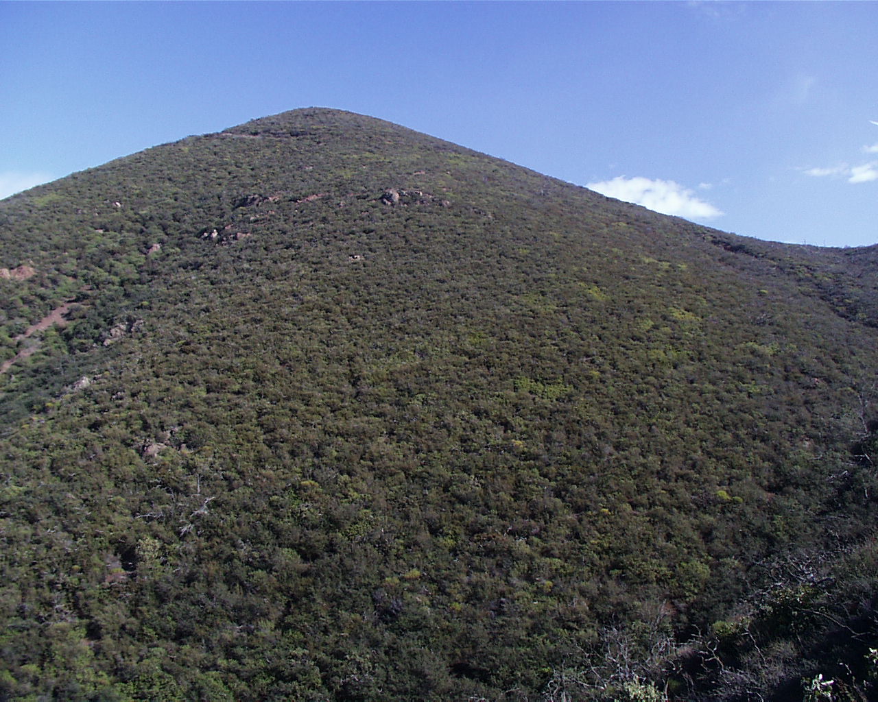
Beautiful Views then down past the Summit Trail.
Take the switchback down at the last junction with Ridge Trail.
The Bridge marks the end. You'll be a few campsites below where you started.
Summit Hike Notes
Start from the bridge and it's uphill all the way!
One recommendation is to do the Loop Trail then turn up the Summit Trail.
1.5 miles to start the Loop Trail to the Summit turn up.
1.2 miles up to the summit and 1.2 miles down.
1 mile down to finish the Loop Trail equals about 5 miles.
Links and References
#14,15 Day Hikes in San Luis Obispo County, California - Robert Stone
Hwy 41 - Morro Bay to Atascadero / Cuesta Ridge Botanical Area
Bob-A-Que! - Acoustic Guitar Music and Dining!
  
  Links Sally & Jim Trips  | Physics/Geology | SLO Sites

January 2004 Click to return to Cerro Alto Loop Hike