From the south, drive 1.7 miles north of Cayucos Drive exit on Hwy 1.
The traffic is usually light but fast. Signal early to cross it!
From the north? There are so many wide parking areas...
It's past the biggest turnout. I think opposite San Geronimo Creek.
There's an old fence and in the spring, a mowed grass path!
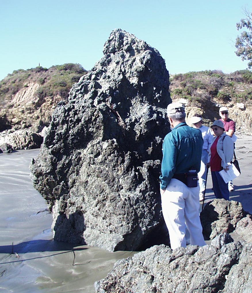
Geologist George Mason leads hikes
for Morro Bay's Natural History Museum.
He's a natural resource of Morro Bay!
Here's a link to Geology Notes from George's talk.
The (igneous) basalt rock shown here is your starting point.
|
|
|
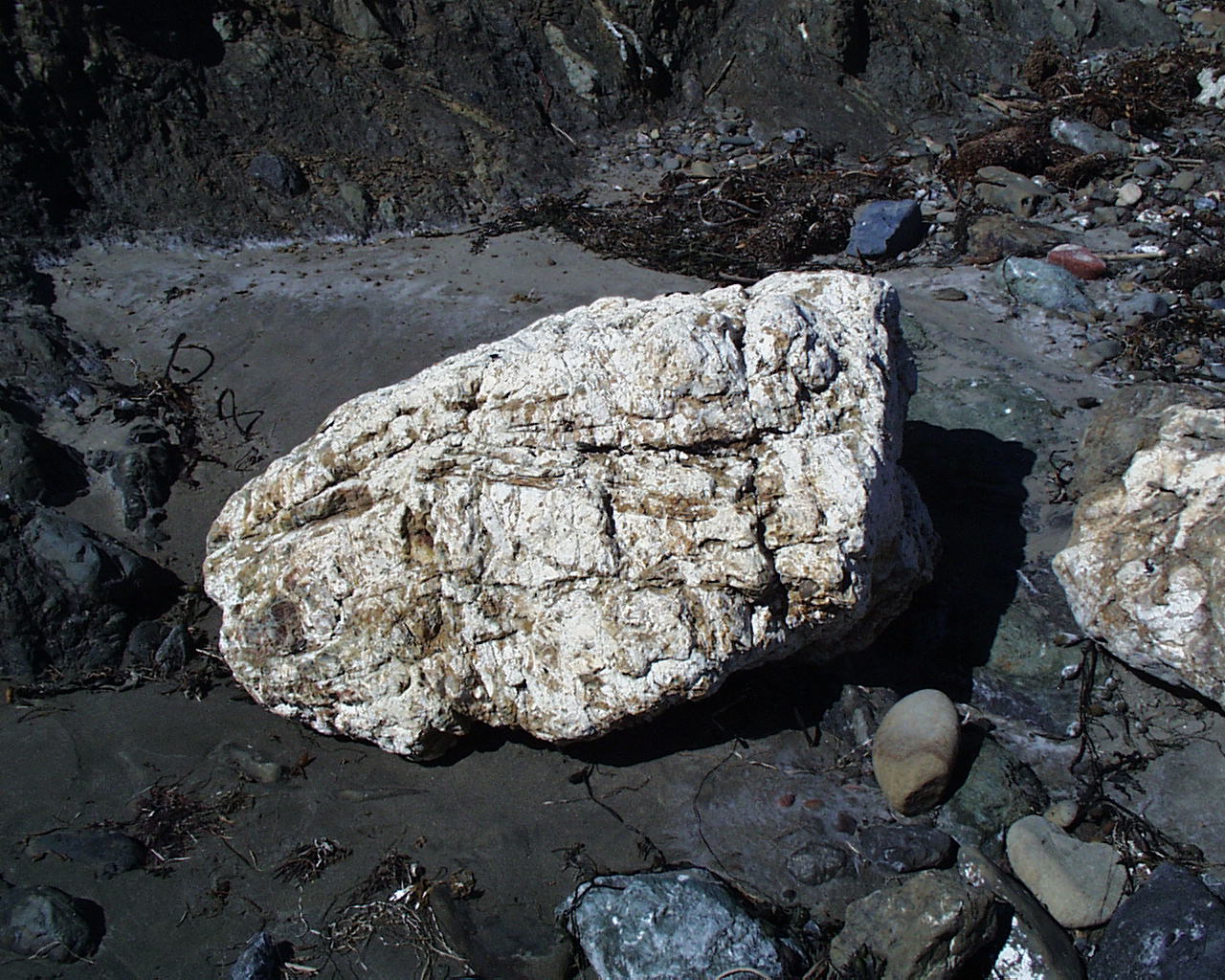
Chert |
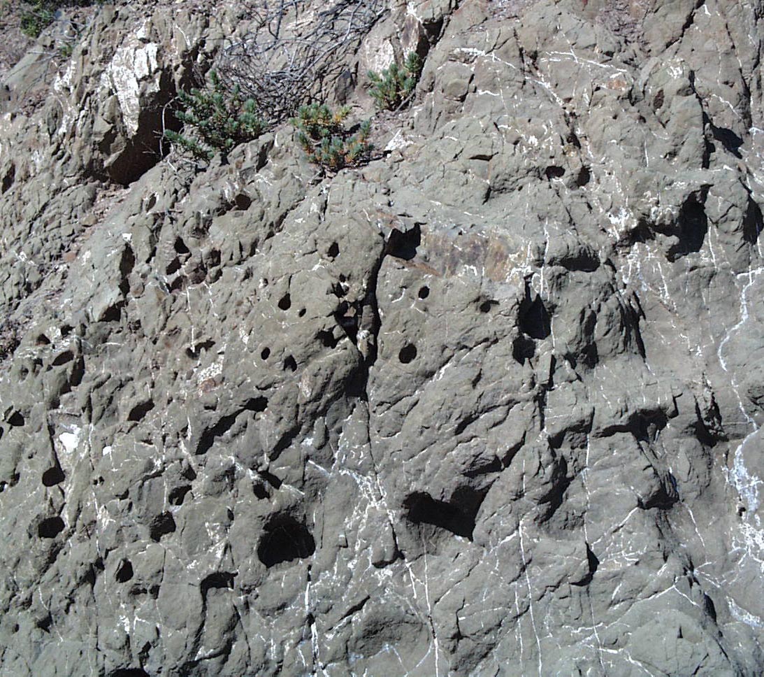
Clam Holes in Sandstone |
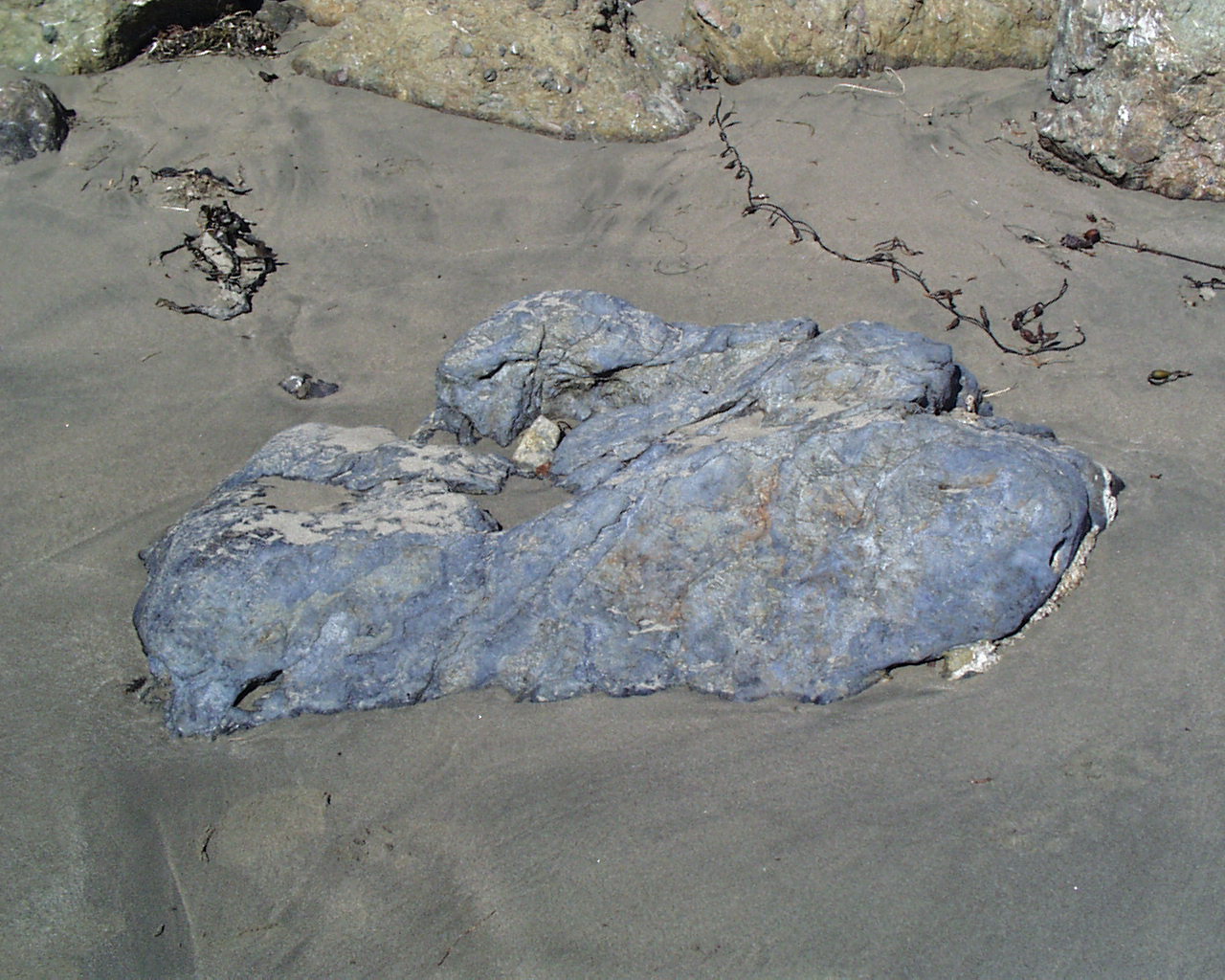
Blue Schist - metamorphic |
What is the Franciscan Melange and how did it form?
There will either be sedimentary strata(layers) like sandstone or shale,
or there may be igneous basalt or rhyolitic areas,
or road cuts on Hwy 41 from Atascadero revealing green metamorphic serpentine.
Here, we find all three types within 50 feet of each other? A 'melange' or mixture.
Up and down the coast, we'll find this mixture, named after San Francisco.
See our geology notes for more information.