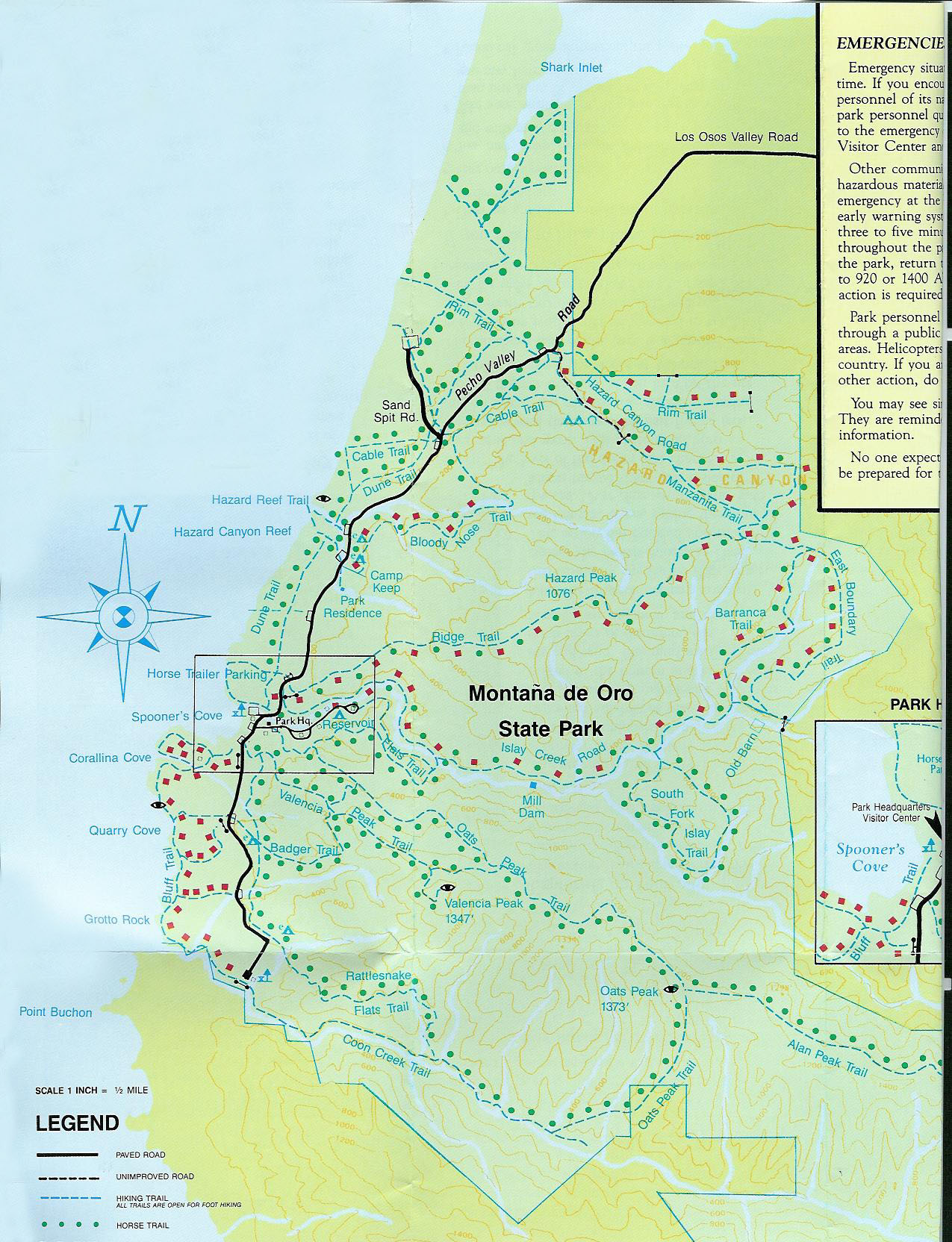
Park on the left 0.1 miles south of the park entrance.
On a hot day, instead of hiking back here...
Draw straws to see who gets the car to taxi the rest of us!
Nowhere else in the park will you find any rock other than
Miguelito Shale - 6 million years old
Look left as you walk down to Hazard Canyon Road.
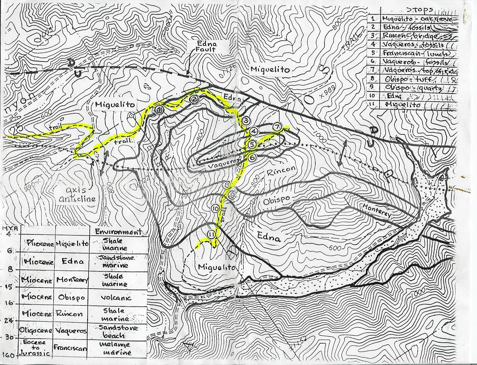
Take the Mazanita Trail then the East Boundary Trail.
See the park map (click on the map on the left).
(It's the trick to ripping telephone books in half!)
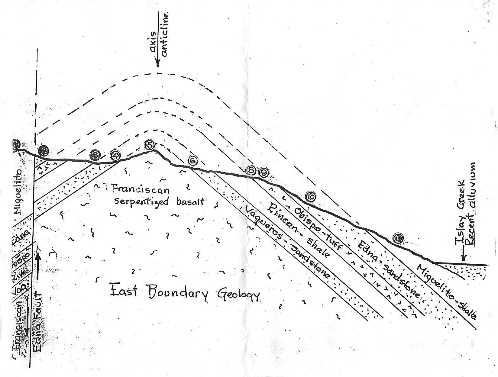
(1)Miguelito Shale 6 mya - marine shale
(2)Edna Sandstone 8 mya - marine sandstone with fossils
(3)Obispo Tuff 16 mya - volcanic ash
(4)Rincon Shale 24 mya - marine shale
(5)Vaqueros Sandstone 30 mya - beach sandstone with fossils
(6)Franciscan 30-160 mya - melange with basalt and serpentine
One could continue and loop out thru Islay Creek.
|
|
|
Anticline Hike |
Geological Map |
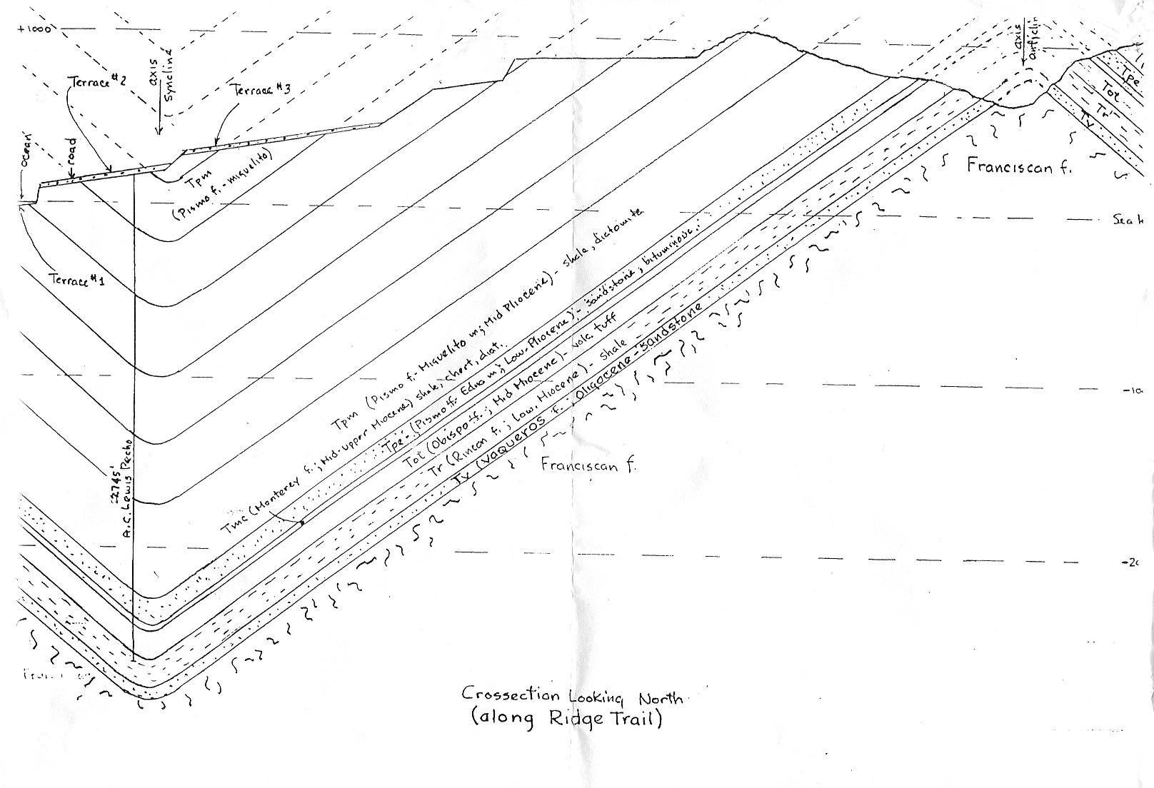
Syncline Map |