Folds vs Faults
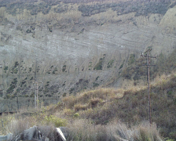
Folds work best in Ventura's thick, well-layered, weak sedimentary rocks.
Oil, gas, and water can collect in anticlines rising to the top.
In order of density from bottom to top, we find water, oil, then natural gas.
Petroleum interests dig wells into the oil layers.
With no cracks in the top, cap rock,these resources are nicely trapped.
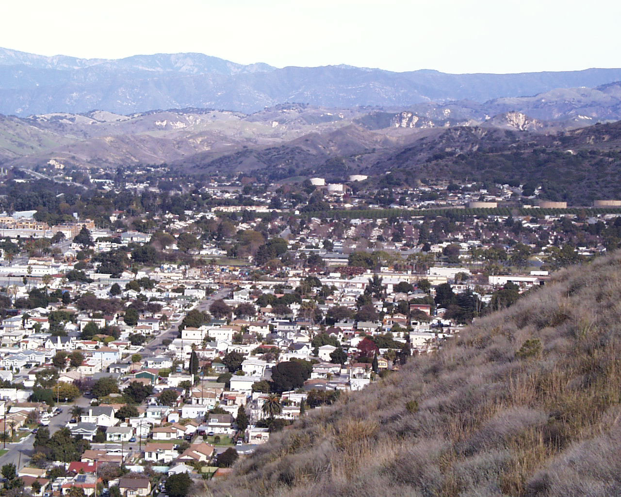
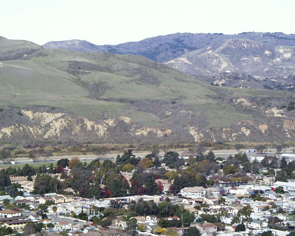
This is one of California's largest, most productive oil fields.
Some geologists think the inclined limbs finally go horizontal at 11,000 feet deep.
200,000 years ago, sedimentary rocks were deposited in sea water.
The folding process must have occured later, so the anticline is extremely 'young'.
The crest has been rising for the past 200,000 years at an average rate of .6 inches/yr.
The crest is still rising at about .1 inch/yr.
Erosion and the Ventura River have countered the uplift.
River terraces are found on the west side of Hwy 33.
From Hwy 33 just out of Ventura, exit at Stanley Avenue.
At Ventura Avenue head back toward Ventura taking a left at Ramona Ave.
At Cedar Drive take a right and just before it becomes a divided road...
Turn left up the hill on Ferro Drive. Take another left to and...
You've found Grant Park and the Padre Serra Cross.
On the other side, there's a parking lot with a view of...
Northwest you'll see the Rincon coast toward Santa Barbara.
Southeast you'll see the Oxnard plain and beach to Port Hueneme.
Point Magu (Los Posas Road) is the Malibu way to get into LA.
Anacapa on the east and Santa Clara island on the west.
During the last ice age, the sea level was 300ft lower with a bay.
It is hypothesized that a 'Cabrillo Peninsula' existed at this time.
12,000 years ago, the meltwater made these islands again,
possibly stranding pygmy elephants and the Torrey pines of Santa Rosa Island.
Ventura river has been diverted for irrigation and flood control.
It could no longer deliver sand to Pierpont Bay and acres of beach was lost.
Look for groins(walls) to prevent more loss of sand in the southeast direction.
|