|
San Andreas Fault,
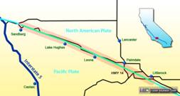
Part 4: Palmdale, Littlerock By Dan Robinson Editor/Photographer
After turning off of CA-138
at Quail Lake, we temporarily leave the San Andreas fault zone to climb in
elevation on Old Ridge Route Road. After about four miles, we're just past Sandberg and back along the fault zone. The fault zone
lies in the field on the north side of Pine Canyon Road. As before, the time
since the last earthquake means that the visible surface rupture has long
been erased by erosion and vegetation. That of course will change when this
segment of the fault ruptures again.
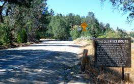
Click the “Sandberg” (with CTRL+click) for history
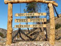
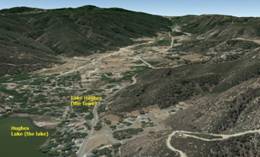
and more info on ‘The Ridge Route’. Lake Hughes, California
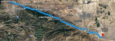
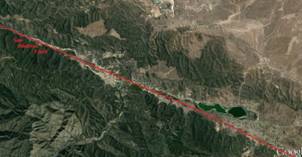
After passing Three
Points, the fault zone generally runs directly underneath the road all the
way to Palmdale. There are no obvious signs of the fault trace to be seen in
these locations, although it is apparent that surface rupture from a future
earthquake will do significant damage to this stretch of the road.
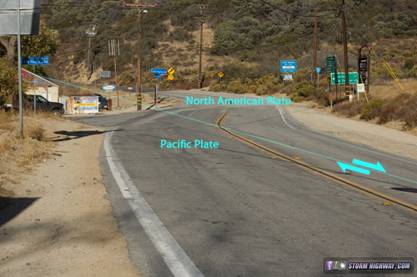
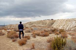
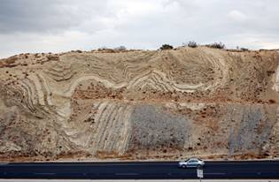
Lake Hughes town - photo credit to Dan Robinson & Stormhighway.com Palmdale, California In most locations, the San
Andreas is not just a single fault. A complex network of mostly parallel
faults often run on either side for some distance. Sometimes, these parallel
faults will rupture in an earthquake instead of the main strand. Palmdale is
one such location, famous in seismological circles for the Highway 14 road cut
that exposes a fascinatingly detailed view of the folding and deformation of
rocks along the numerous parallel faults in the area.
*It should be mentioned
that near Palmdale is the small town of Neenach. In the hills is found 23.5
million year-old volcanic rock outcrops on the North American Plate. Add to
that the SAF cuts right thru here. Check out the geologic story of our
Pinnacles NP up north! Littlerock, California One should have no problem
finding the San Andreas southeast of Palmdale, especially looking from some
height. The soil and rocks on either side of the fault are of different
colors, and the flora on each side is noticeably dissimilar. In Part 5, Dan takes us
into and thru the San Gabriel Mountains… |