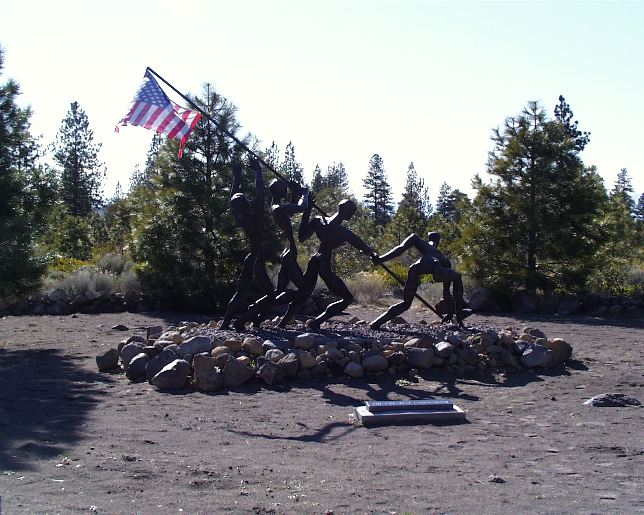
and nearby: Living Memorial Sculpture Gardens (Hwy 97 one
mile past A12)
Return to Trip Map
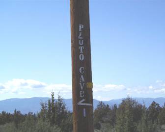
Directions: Take Hwy 97 12 miles
north out of Weed. Turn west on Road A12 (well-marked blue sign). Go exactly 3
miles and turn left at the telephone pole with the silver lettering (see
below). You won’t see the national forest sign until you turn in.
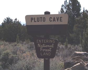
Now drive 2/10 of a mile (don’t use
that trailhead sign!) to a parking area with rules.
Travel the blocked-off road until
you hit a graded road. (corner of Teal & Bonanza!)
It’s down the road about 50 yards
and into the ridge.
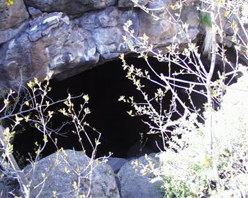
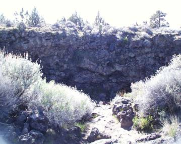
These photos are the backdoor
entrance. We didn’t find the main entrance until the end.
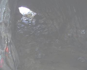
Did you bring extra water and a
flashlight? Honestly, the graffiti ruined the dry caves for me. We did score a
lot of points, however, just finding these caves! The weather was cool, too.
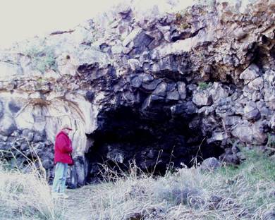

Further along, we got to a larger
cave. There’s a neat room that’s lit up by a skylight.

Finally as we climbed
out, we turned around to see the main entrance…
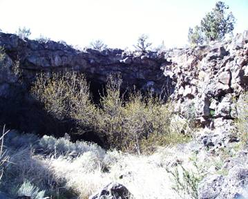
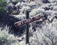
And there was even a
“Skylight Trail”.