To hike both trails, you'll need a second car.
Park car #1 near Bluff Trail, just up the hill from the Visitor Center.
Hop in car #2 and continue south to the last parking lot.
Go east past the second railroad tie and turn left uphill.
At the 'T' near a drainpipe take a right and head inland.
About 50 yds past a sandstone trailcut, there will be a trail up and left.
Take this trail up along the ridge to the top.
Return along the better and wider Valencia Peak Trail.
Car #1 should be across the street from the Valencia Hike trailhead.
Hike Leader Norma Wightman pointed out...
Marine terraces or benches
The Bishop Pines along the PGE ridge to the south
are endangered as they need fire to regenerate new trees.
Red-tailed Hawks vs Turkey Vultures which only eat dead animals.
Condors and Turkey vultures have a sense of smell!
and lotsa plants! Plant List for the South Approach
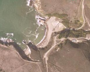
Left Photo: Near the Visitors Center
Start of the West Approach to Valencia Peak
|
|
|
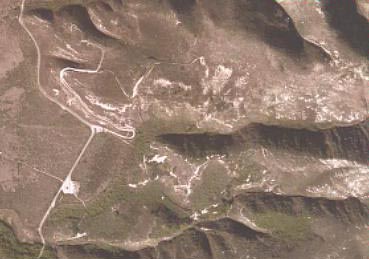
Last parking lot |
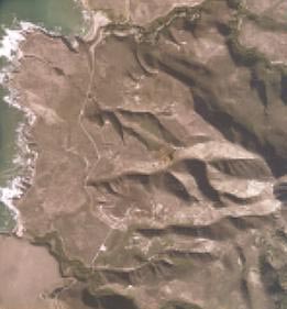
Valencia Peak |
Valencia Peak |
Another George Mason Hike
If you return down the south ridge bring your hiking stick.
There isn't much of a path and the footing isn't firm.
The south approach shows a wider variety of plant life.
Here you'll see Coastal Live Oak and the familiar Lace Lichen.
You'll see Toyon(California Holly) and Coffee Berry.
You'll also find some manzanita.
Click Here for Valencia Peak - Valencia Peak Trail (standard approach)
Click Here for Other Montana de Oro Hikes