Carrizo Plain

Trip Log and Notes

Painted Rock - Yokuts and Chumash Indians

Return to Carrizo Plain Mainpage

When to Visit?
(1)SANDHILL CRANES - February thru December - Call the Visitor Center to see if they've been spotted! (805) 475-2131 Thur-Sunday 9am-5pm
(2)WILDFLOWERS - February thru April - Call the Visitor Center
(3)PAINTED ROCK - Open before March. March 1st through May are guided tours on Saturdays - Call ahead or check their very nice website: Goodwin Education Center
Summer? Probably not! Temperatures can go as high as 110 degrees. Bring water!
Best time? We liked the spring (early April) when everything was green and cool!
WEATHER? It's extremely important to be prepared for the changeable weather, especially rain. The unpaved roads around the park become "impassable". It's often a couple of weeks before things dry out enough for someone from Taft to come out and try to pull you out! Fortunately you can find the hourly weather station data on the web!
WEATHER REPORT!

Ecology Notes

Pronghorn Antelope
Bring your binoculars!

Kit Fox
at the Visitors Center?

A rattler crossed our path!

Painted Rock - Notes

East side of the rock
Pedro Fages1772?

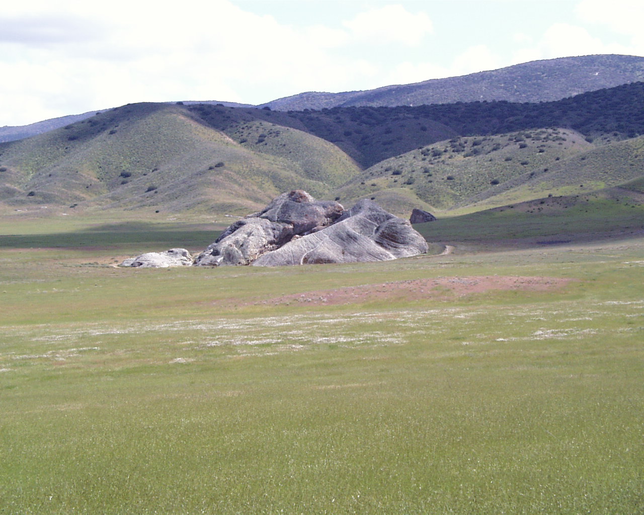
Approaching Painted Rock

South side with rattlesnakes
Guano blocks nest entrance(?)

San Andreas Fault - Wallace Creek

Offset Creeks
Wallace and Phelan Creeks

Wallace Creek, Carrizo Plain
Virtual Tour - USGS

Panorama then Elkhorn hills
Northern Elkhorn Hills


Driving Directions from San Luis Obispo
Take Hwy 101 to Hwy 58 through Santa Margarita.
As you exit the town turn right on Estrada Avenue.
In a mile or so, take the LEFT to stay on Hwy 58. Don't go toward Santa Magarita Lake.
This Hwy 58 will change names for about 45 miles (La Panza Road then Carissa).
After two 15mph sharp corners, turn right on Soda Lake Road.
Drive past California Valley (1 motel) and the alkali lake past Simmler Road (10 minutes).
Turn right on Painted Rock Road. Turn left past the Goodwin Education Center to the picnic area and trailhead.
Driving Directions from Santa Maria
From Hwy 101 at the north end of town, take Hwy 166.
Beautiful highway drive through the mountains into Cuyama Valley.
An hour drive thru the farm valley (dangerous to pass due to rolling hills).
Pass New Cuyama (Buckhorn Motel and Restaurant) and Cuyama (Buggy Stop).
Pass the Hwy 33 turn off to Ojai and turn left on Hwy 58 (defunct 76 Union station).
Now comes the long, rough drive up the Carrizo Plain (mostly unpaved) to Soda Lake.
Links and References
Satellite Map and Color Relief Map
BLM Carrizo Plain Website - Excellent!
Buena Vista Museum of Natural History - Excellent Kern County Website
San Andreas Fault in the Carrizo Plain - Excellent Geology
Carrizo Plain Aerial Photo Collection
Hourly Weather Report
Kern County Wild Flowers - Nice Closeup Photos and Links
California Valley - town history
Cuyama Valley History
Wallace Creek Interpretive Trail
Temblor Range - Aerial Photos
Conservation of American Rock Art
  
  Links Sally & Jim Trips  | Physics/Geology | SLO Sites | Dual Sport Riding | CAL PHOTOS

April 5, 2003 Back to Carrizo Plain Mainpage