|
Hike Notes & Photos for Point Lobos State Park |
|
Click for Geology Notes Click to Return to Monterey Trip |
|
|
|
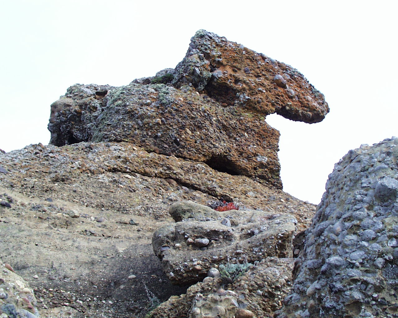
Carmelo conglomerate |
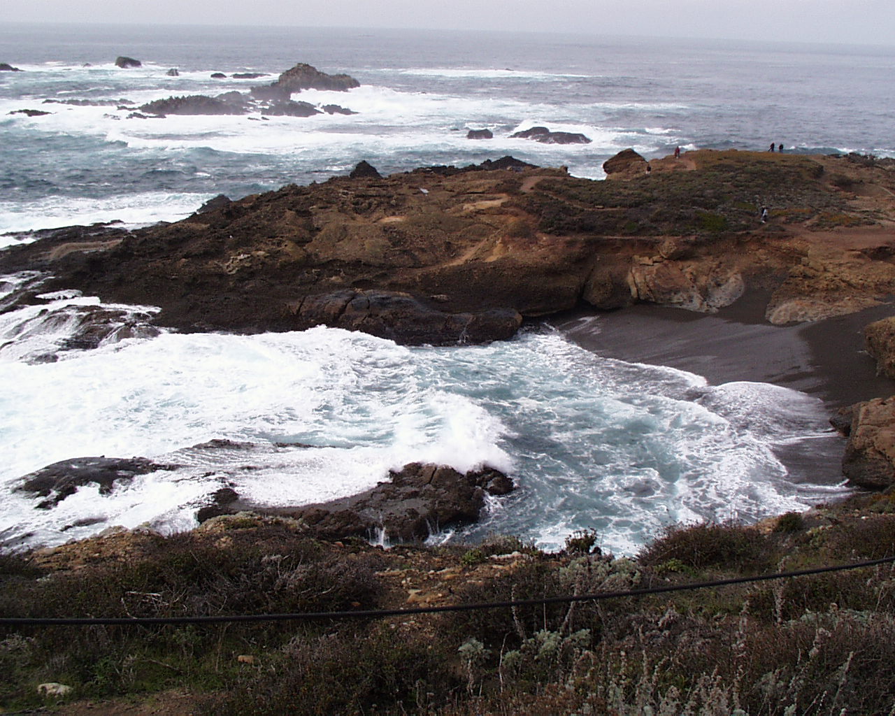
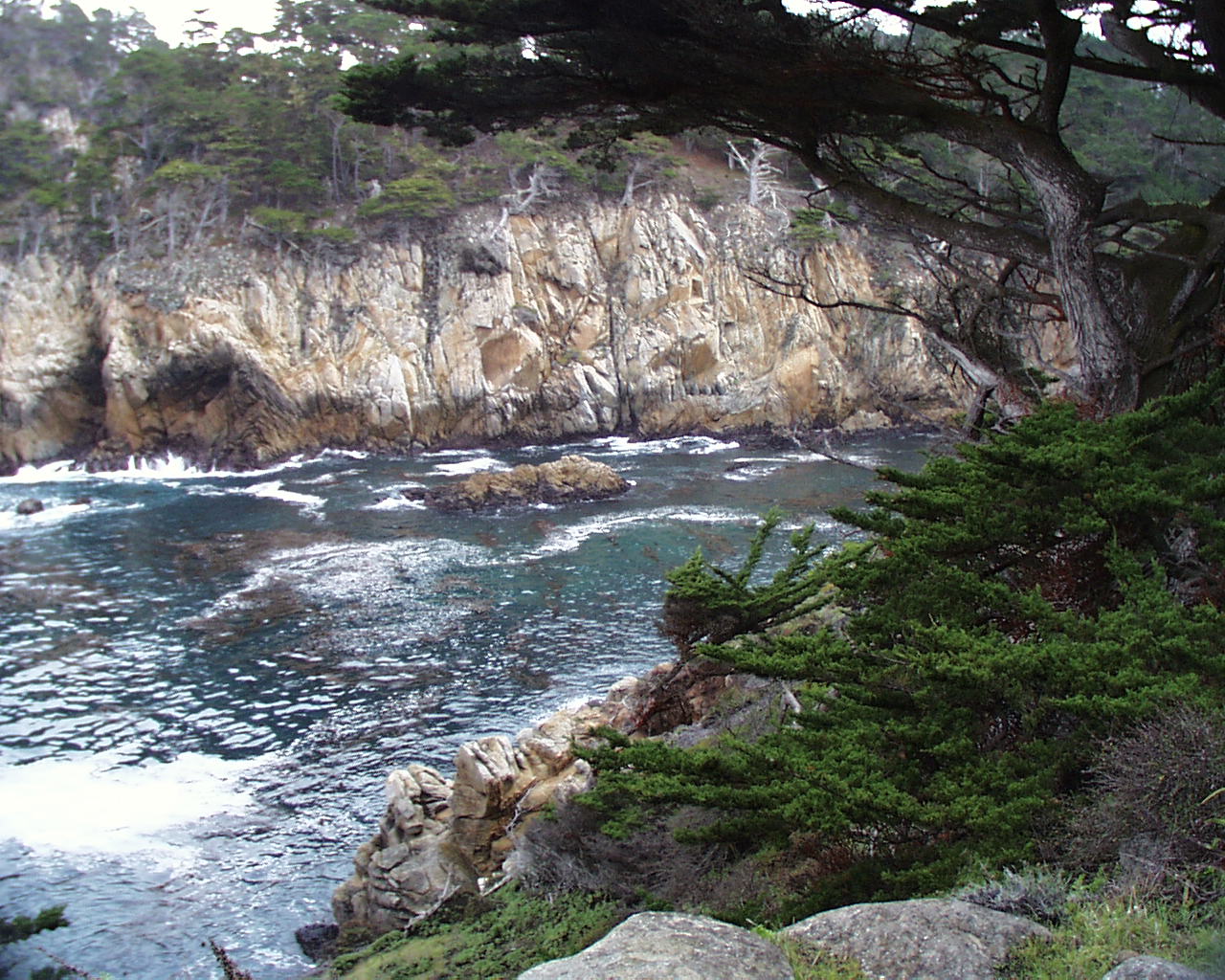
Sea Lion Point Cove |
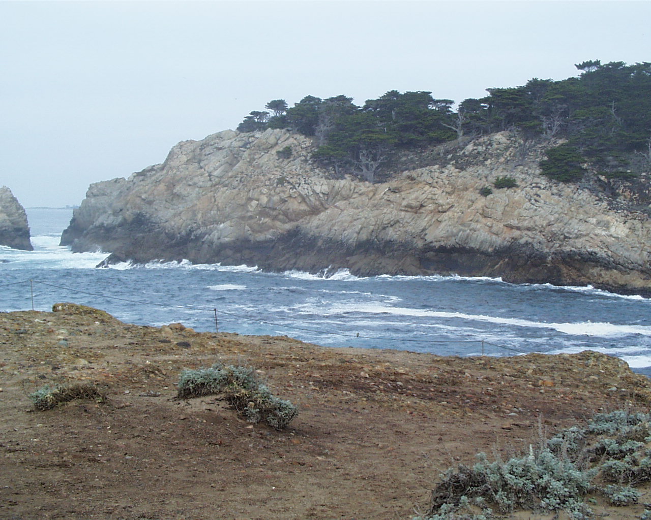
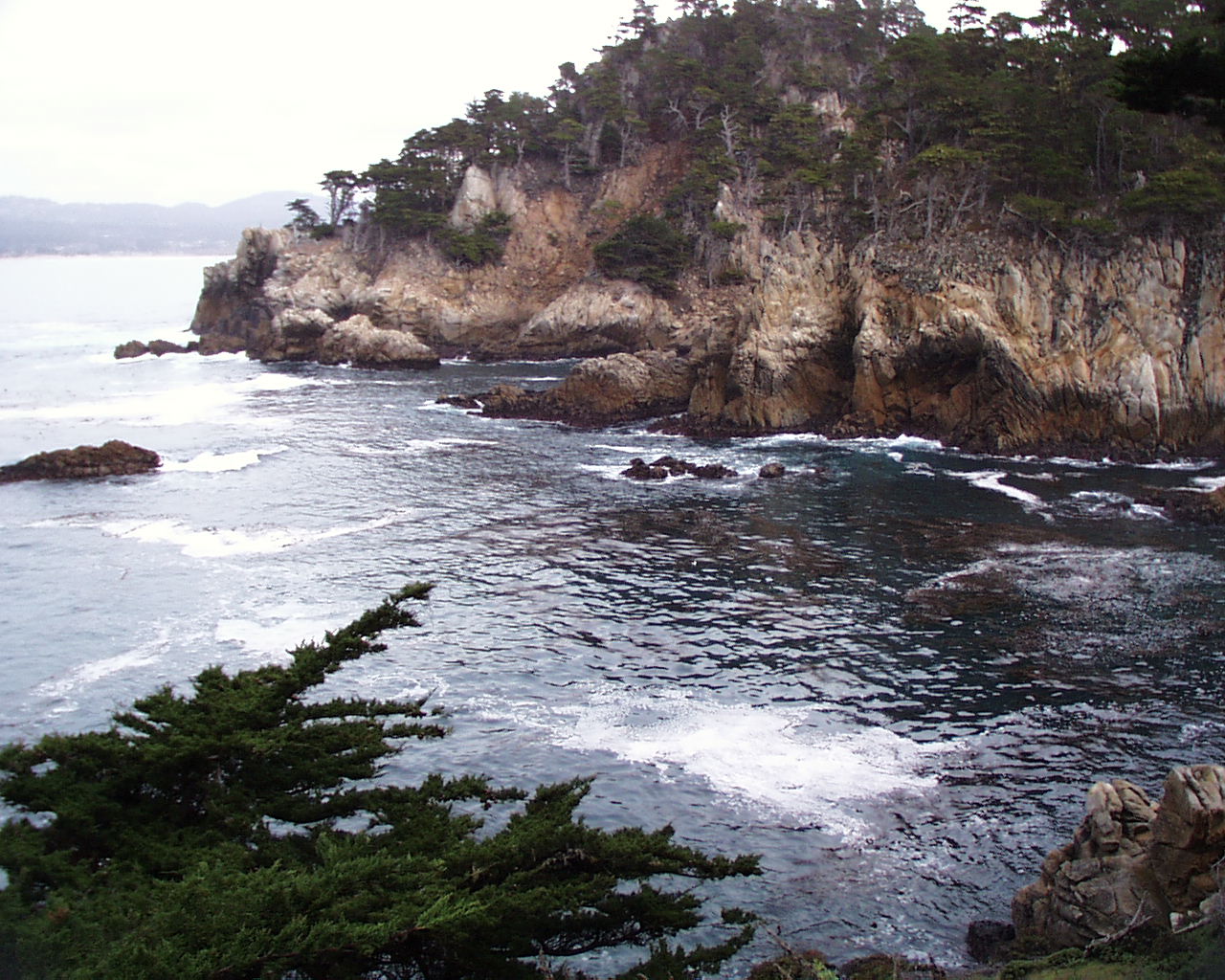
View north - Cypress Grove |
|
|
|
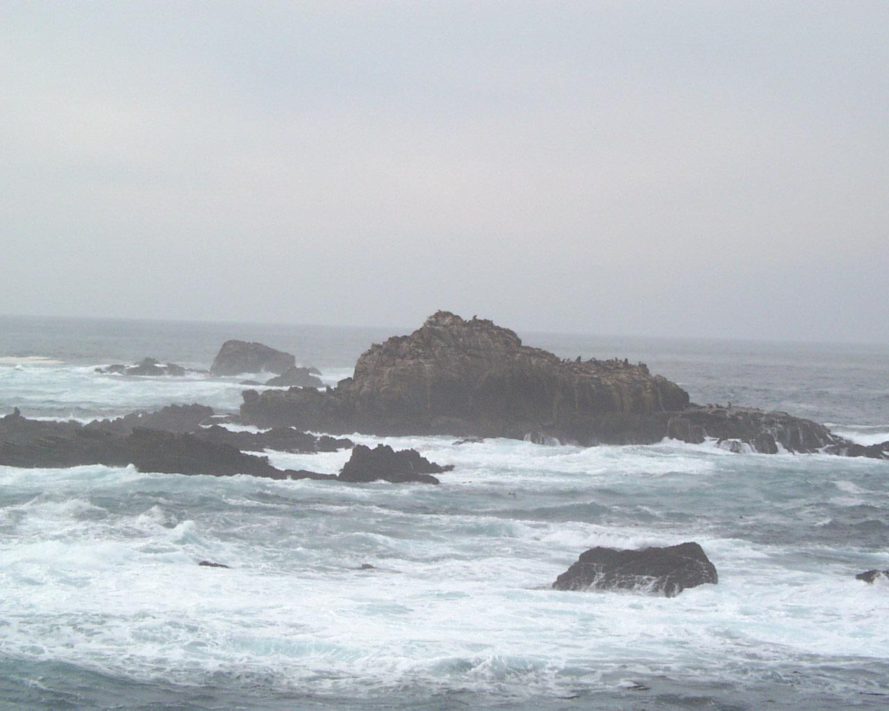
North Point |
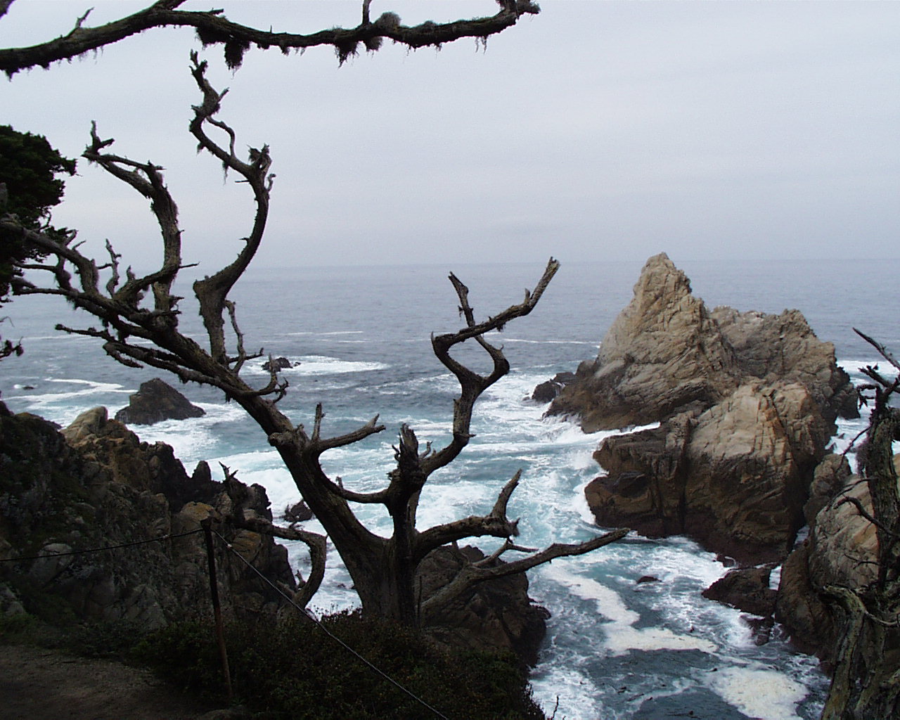
Cypress Cove |
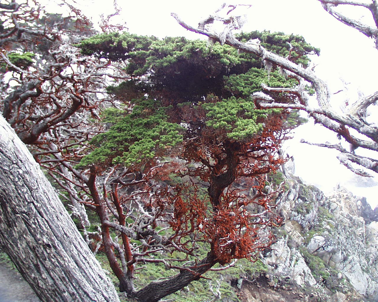
Cypress |
San Luis Obispo County
Return to Sally & Jim's Trips
Click below to return to
Monterey Trip
Decemeber 2003