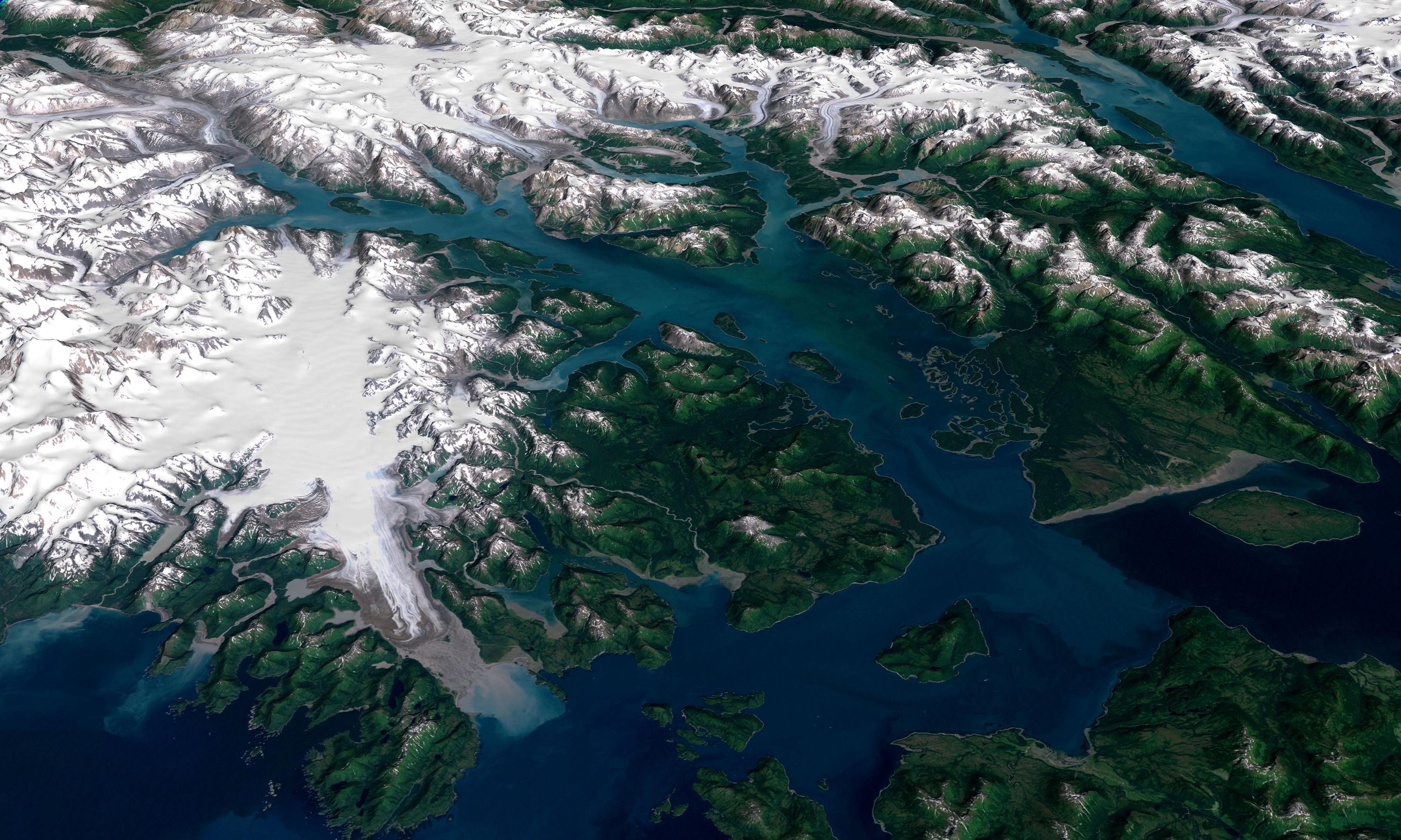
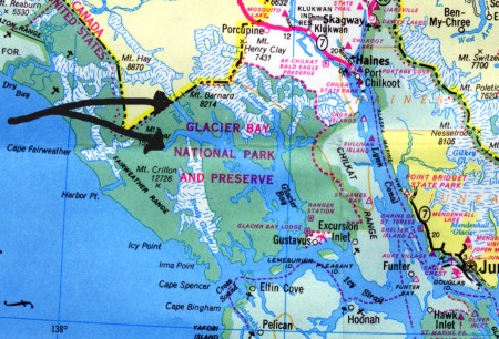
Glacier Bay
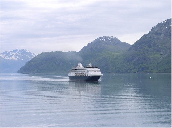
Lynn Canal
The Zaandam cruises thru the night.
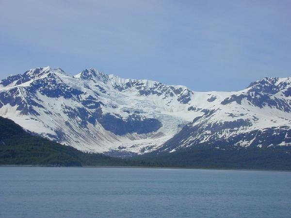
In the morning we cruise into Y-shaped Glacier Bay.
We enter past Bartlett Cove and park rangers join us as we cruise north.
With long distance binoculars, Jim spots whales spouting close to the shore.
The ship won't see any whales until the very end of the day on leaving the bay.
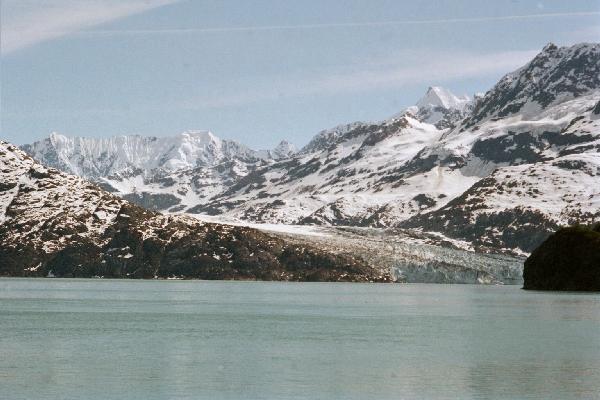
We're heading up the west branch of the "Y" into the Tarr Inlet.
After lunch we took a nap. Just as we got to the Majorie Glacier, Sally awoke.
Jim had to try out his jacket whistle. We hadn't heard the warning not to...
Majorie and Grand Pacific glaciers run together at the end of the Tarr Inlet.
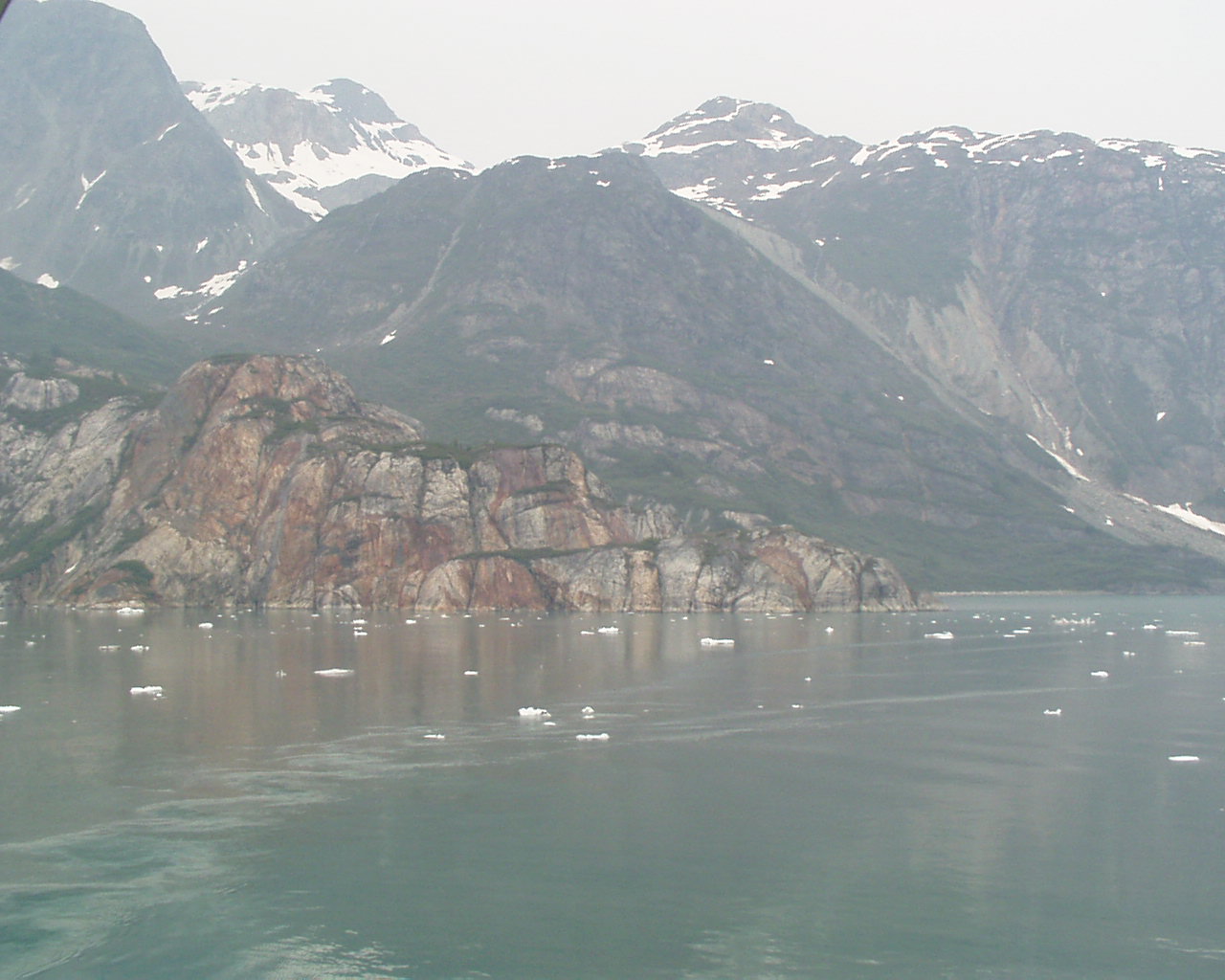
After a couple of 360's we headed for the John Hopkins inlet.
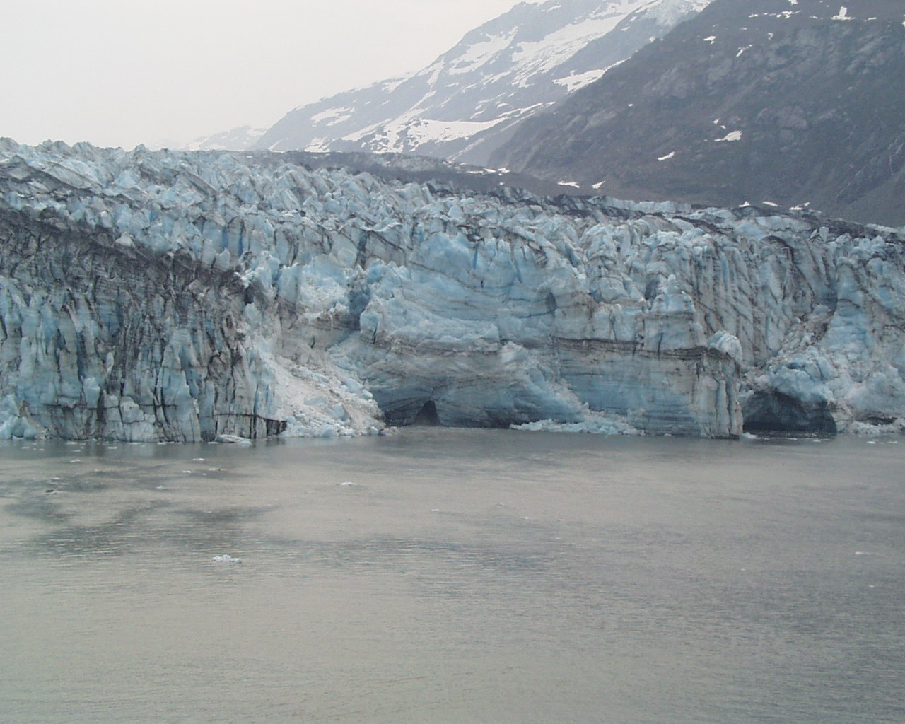
There we saw the Lamplugh Glacier. Never did see spectacular calving.
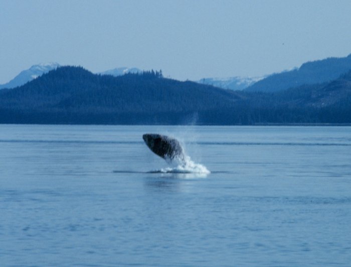
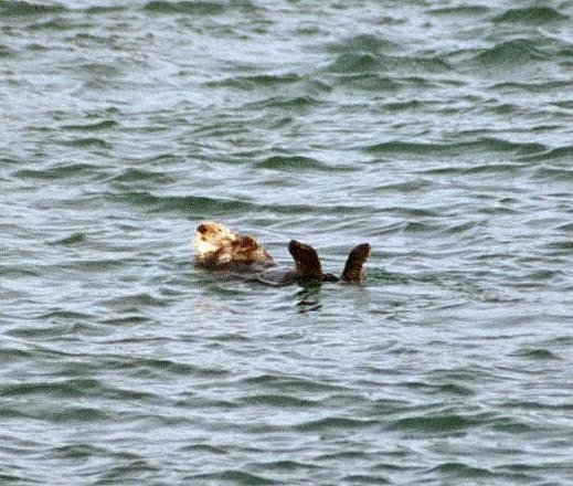
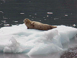
On the way out the ship finally spotted some signs of life!
Cute sea otters floated by along with some kelp. Even dolphins.
And as we went for a walk on the Lower Promenade (Deck 3)...
Whales: Pod of humpbacks, breaching, whale flukes and dorsal fins.
We had great views from the observation deck. No orcas.
It got late so we didn't go by the Steller sea lions on South Marble Island.